数据描述
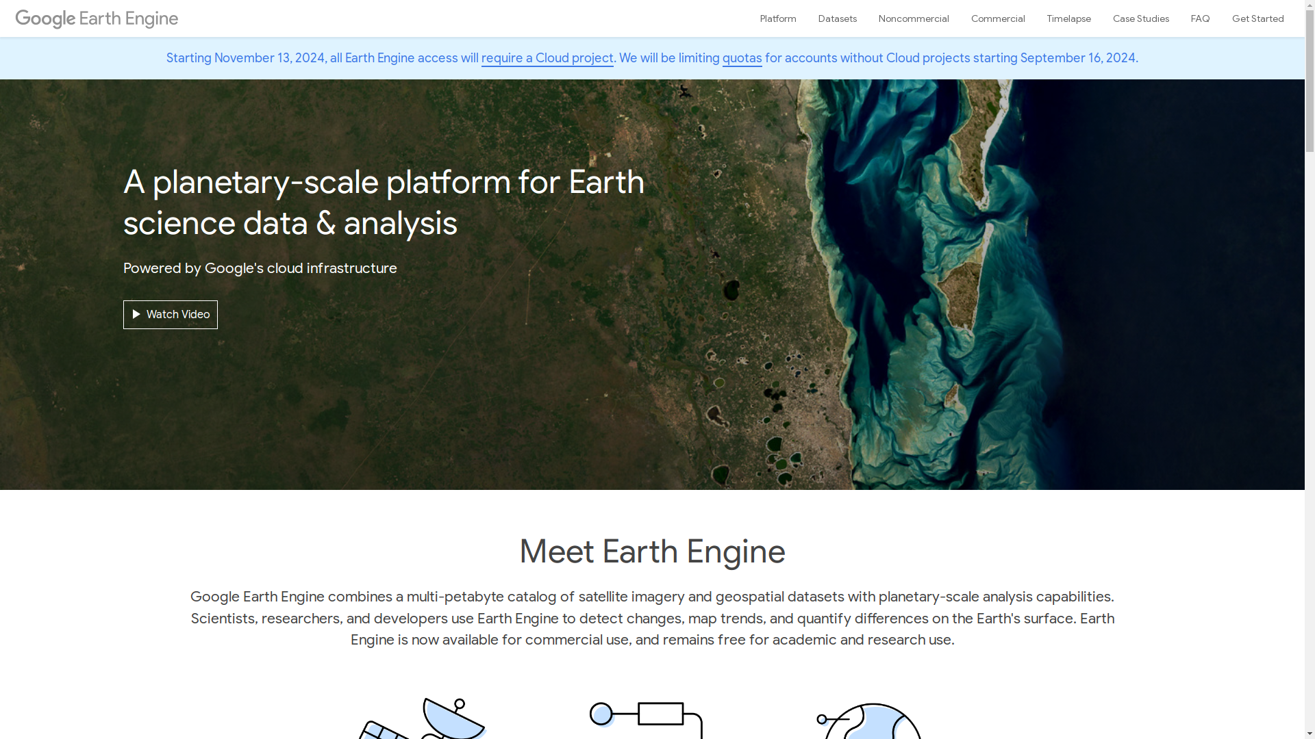
The Earth Engine dataset provides access to a multi-petabyte catalog of satellite imagery and geospatial data, enabling planetary-scale analysis for scientific research, commercial applications, and humanitarian efforts. It includes over eighty petabytes of historical and current geospatial datasets, updated daily, covering more than three decades of imagery. The platform supports users in detecting environmental changes, mapping trends, and quantifying differences on Earth's surface. Applications include forest monitoring, disease outbreak prediction, natural resource management, and global impact assessments, such as the Global Forest Watch initiative. Earth Engine also features tools like a web-based code editor for algorithm development and Timelapse, which visualizes 37 years of satellite imagery to track planetary changes. The dataset is freely available for academic and research purposes while offering commercial use options through Google's cloud infrastructure.