数据描述
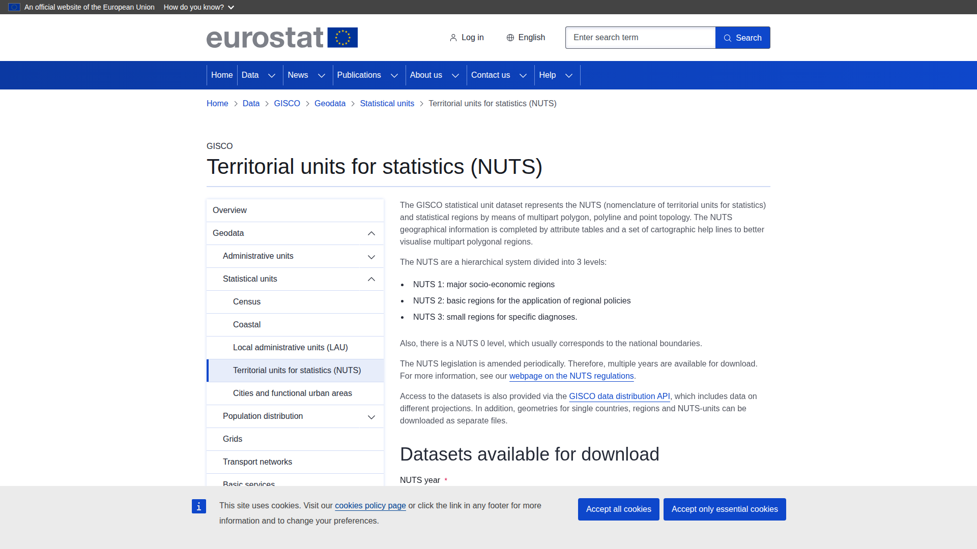
The GISCO statistical unit dataset provides geospatial information on NUTS (Nomenclature of Territorial Units for Statistics), a hierarchical system used for regional analysis and policy applications in Europe. The dataset includes administrative boundaries across three levels: NUTS 1 (major socio-economic regions), NUTS 2 (basic regions for regional policies), and NUTS 3 (smaller areas for detailed diagnostics), along with a NUTS 0 level corresponding to national borders. It offers spatial data in formats such as GeoPackage, SHP, GeoJSON, PBF, SVG, and TopoJSON, representing polygons, lines, and points. Attribute tables and cartographic aids enhance visualisation of complex regions. Available for multiple years (e.g., 2003, 2010, 2016), the dataset supports various applications in territorial analysis, policy implementation, and regional diagnosis across Europe.